Projetos que exigem precisão, durabilidade e entrega confiável.
Conheça nosso trabalho e confie sua obra na Ld Esquadrias
A LD Esquadrias tem experiência comprovada no fornecimento de soluções em esquadrias de alumínio para os mais variados tipos de obras. Atuamos em projetos comerciais, como lojas, escritórios e centros empresariais; industriais, como galpões, fábricas e centros logísticos; e públicos, como hospitais, escolas e repartições. Também atendemos clientes particulares, desenvolvendo esquadrias sob medida para residências de médio e alto padrão, com foco em estética, desempenho e durabilidade. Independentemente do porte ou segmento da obra, oferecemos qualidade técnica, personalização e cumprimento de prazos.
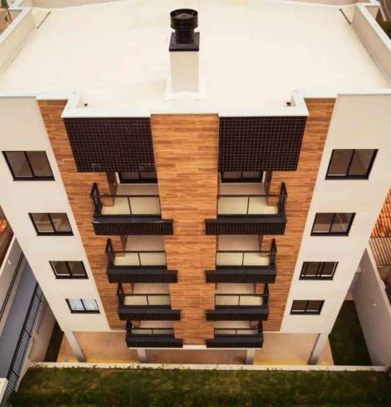
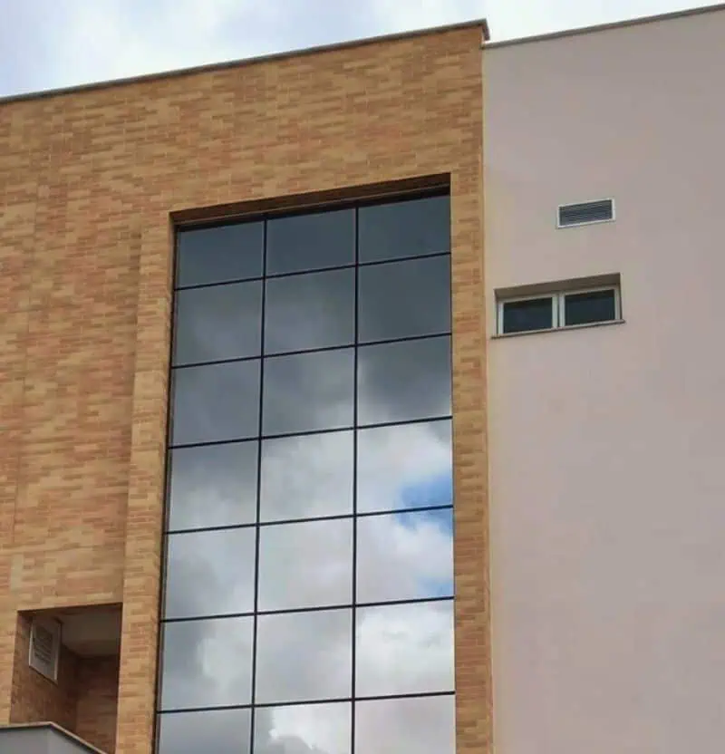
Esquadrias de alumínio para prédios e condomínios
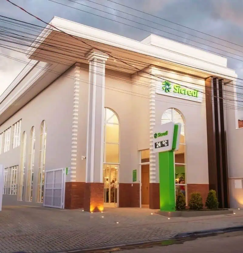
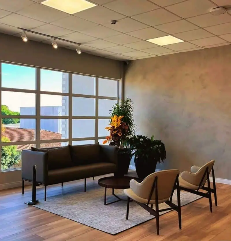
Esquadrias de alumínio para lojas, escritórios e comércios
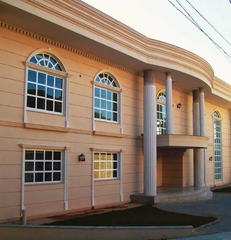
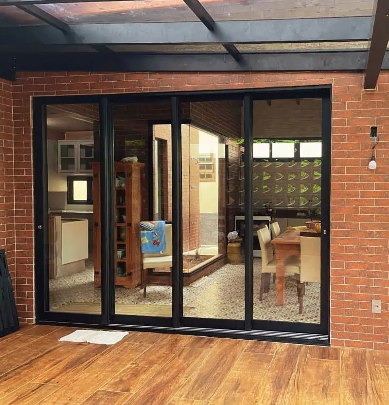
Esquadrias de alumínio para residências de médio e alto Padrão
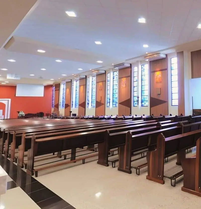
Esquadrias de alumínio para igrejas e templos religiosos
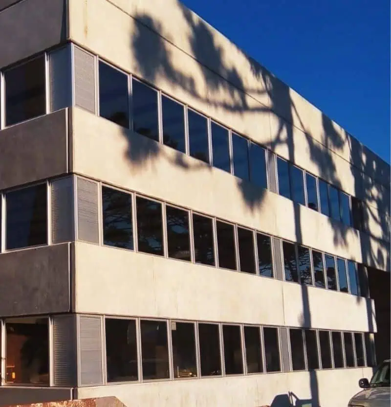
Esquadrias de alumínio para galpões e indústrias
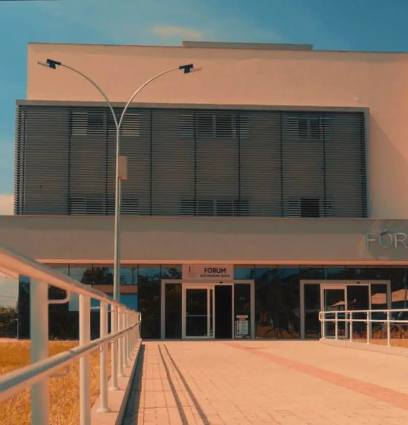
Esquadrias de alumínio para obras públicas e institucionais